
For Teachers
Teacher Materials:
Lesson Overviews
Each lesson in the teacher’s edition comes with a lesson overview page for instructors with boxes in the margins that provide quick reference to lesson goals. The overview describes in detail the skills taught in the lesson as well as additional information that may be necessary to complete the lesson. Lesson related links for further study are also supplied with each overview page.
Presentation Notes
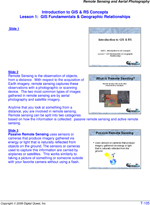
Each student lesson comes with a PowerPoint presentation that provides an overview of the lesson including concepts, the skills covered, and the study area involved. The teacher’s manual is supplemented with detailed descriptions and commentary for each slide allowing a diverse range of instructors to lead classroom lecture.
Assessments
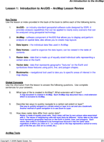
Lessons will conclude with a full page color layout of a successfully completed exercise. If questions are presented within a lesson, the teacher’s manual includes answers to those questions.
Why Geospatial Technology and Digital Quest Are Right for You!
Geospatial Technology is impacting you and your students daily. In the last decade you could count on one instance of geospatial technology daily - the one map that influenced your day, your week, your vacation. Today...GPS, satellite imagery, political maps, news, TV, social networking, smartphones, tracking pets, tracking crime, bus routing...geospatial technology is all around us. Your students will be invloved in creating geospatial solutions. And we want your students to be ready and ahead of the curve!
Customizable Turnkey Solution
Digital Quest curriculum gives you a fully functioning geospatial classroom from day one making sure your program runs smoothly. Curriculum comes with lesson overviews (easily adapatable into your state/district's lesson plan requirements), PowerPoint presentations with narrative style notes, and fully assessed lessons. All physical materials and software are delivered giving you one source for the fully functioning classroom. See teacher documentation samples to the right.
Training
We want your experience to be a confident and comfortable one. As instructors, you have access to over 200 hours of training opportunities...recognized to make sure you get the CEUs needed to ensure development Convenient training onsite or at a training lab at the Center of Geospatial Excellence at NASAs John C. Stennis SpaceCenter.
Support
Full support is standard with all of our curriculum to make sure you have the answers to your questions when you need them!
Follow Us On:
 |
Share With Others:
|
Share With Others:


