
For Students
What Can You Create?
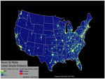
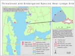
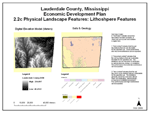
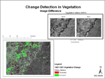
Select an image below to see detailed examples!
Sample Layouts

Why Geospatial Technology Is Right for You!
Geospatial Technology is impacting you life daily. ...GPS, satellite imagery, political maps, news, TV, social networking, smartphones, tracking pets, tracking crime, bus routing...geospatial technology is all around us. Your career, wherever it may take you, will use geospatial solutions. Learn to use it now and make an impact on your life, community, and FUTURE!
What is Geospatial Technology?
You may be familiar with the uses of geospatial technology listed above, but thats just the beginning. Behind these technologies is a vast range of careers and technologies that lead to their creation. GPS you know, but whats next? Industry professionals, right now, are using technologies like Geographic Information Systems (GIS), Remote Sensing, and Surveying techniques to take all of this data and present it to you digitally.
GIS is based on database technology that incorporates mapping analysis, software design, 3D visualization, graphic design, and more. Remote Sensing lets you use visual and software analysis to pull information from satellite imagery and other similar types of data. Surveying involves building highly accurate datasets through GPS technology and mathematics. Combine them all into an exciting career.
Industry Focus
Our Curriculum allows you to focus on industry areas that you find interesting. Choose From:
See more info on these areas on our Programs of study page. Click Here!
Follow Us On:
 |
Share With Others:
|
Share With Others:


